Hot springs on your drive
Tell us where you are starting and where you are going. We take your actual driving route — not a straight line — and find every one of 277 US natural hot springs along it, with how far each one really sits off the road.
14 hot springs on the way
Reno, NV to Mammoth Lakes, CA · 168 miles · 3.6 hours driving
- Mile 0 · 5.0 mi off route
- Mile 4 · 0.8 mi off route
- Mile 13 · 0.6 mi off route
- Mile 21 · 1.0 mi off route
- Mile 30 · 0.3 mi off route
- Mile 40 · 2.0 mi off route
- Mile 57 · 14 mi off route
- Mile 111 · 3.1 mi off route
- Mile 115 · 0.8 mi off route
- Mile 165 · 0.3 mi off route
- Mile 165 · 6.6 mi off route
- Mile 165 · 8.4 mi off route
- Mile 168 · 8.2 mi off route
- Mile 168 · 22 mi off route
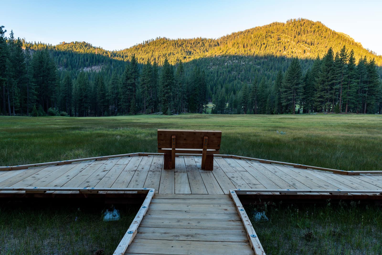
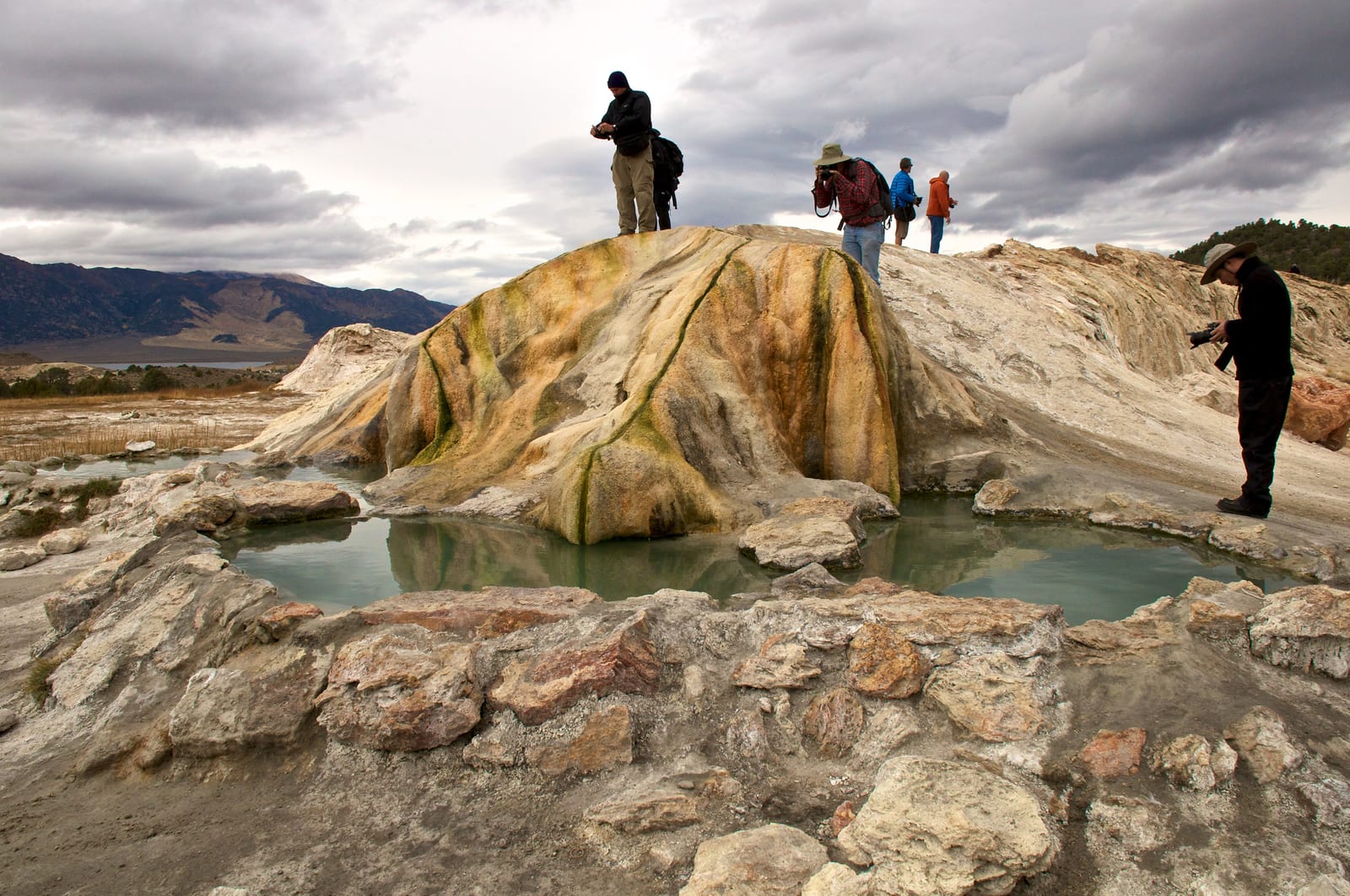
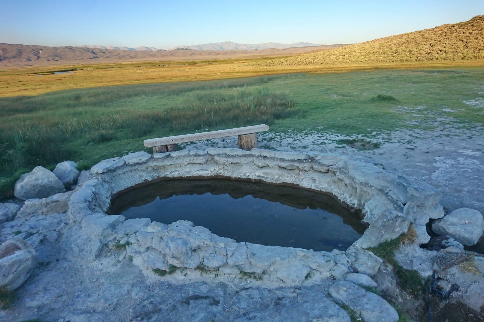
2 of these are more than a quarter mile from the nearest road, so they get their own directions link rather than joining the combined route — and those point to where the driving ends, not to the water. how that was measured.
Loading map…
How this works
Your two towns are turned into coordinates and joined by a real driving route from OpenStreetMap's road network. Every spring in the directory is then measured against that line, and anything within the corridor you set is listed in the order you would drive past it.
The number is honest about what it is. “12 miles off route” is the straight-line distance from the highway to the spring, not the drive. Where a road turns off and doubles back, the driving detour will be longer — and for the backcountry springs, part of that distance is on foot. We measured that separately: 28 US hot springs have no road to them at all.
Hotels and vacation rentals that merely sit in a hot springs town are excluded by default, because a road trip planner that routes you to a condo is not telling the truth about where the water is.
Routing and place names from OpenStreetMap contributors, licensed ODbL, via OSRM and Nominatim.