Trego Hot Springs
Pershing County, Nevada4.0 (58 reviews on Google)
Key facts
- Location
- Pershing County, Nevada
- Access/hikeVisitor-confirmed
- Dirt Road
- RoadUnverified
- Sedan / 2WD
- Fees & passes
- Free
- Status
- Open · Oct 5, 2026
- Water tempSurvey-measured
- 187°F · Survey dataNOAA thermal springs survey — BUTTE SPRINGS (TREGO HOT SPRINGS), 0.23 mi
- Facilities
- Camping
BLM health advisory: avoid any contact with the water
BLM reported that the spring water tested positive for E. coli, fecal coliforms and Vibrio cholerae, and advises the public to avoid bathing or any type of contact with it. Warning signs at the spring have been vandalized or torn down. We found no notice lifting the advisory (checked 2026-10-02).
Getting there
What to bring
The water
Other springs nearby
More hot springs in Nevada
- Steamboat Hot Springs Healing Center & Spa · Reno101.7 mi
- Carson Hot Springs · Carson City114.1 mi
- Spencer Hot Springs · Austin155.6 mi
- Hot Springs Ranch · Eureka174.2 mi
- Smith Ranch Hot Springs · Ruby Valley198.1 mi
- Goldstrike Hot Springs · Boulder City405.9 mi
Hot-spring towns in Nevada
Plan the trip
About this spring
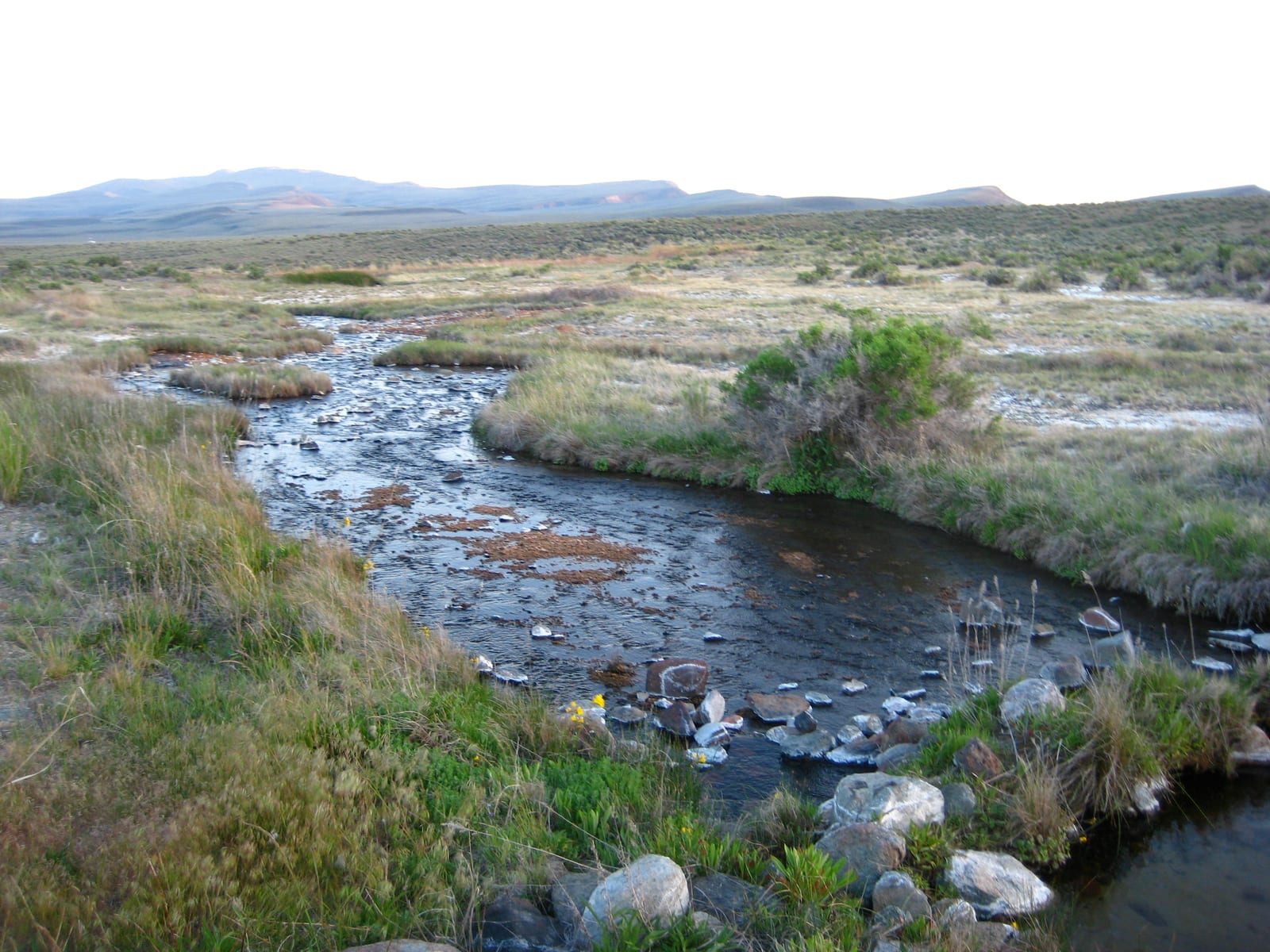
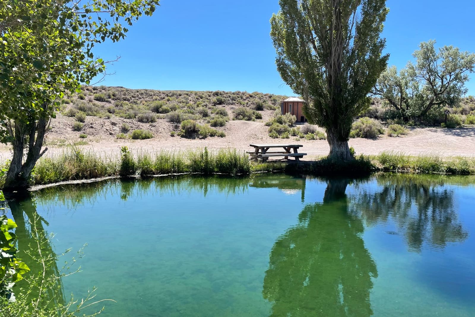
Trego Hot Springs (Pershing County, Nevada) is mapped within a quarter mile of drivable access. Filed under an undeveloped backcountry pool in this directory without a confirming source on file.
Surveyed vent temperature is 187°F per NOAA; that reading is hot enough to scald. There is no entry fee.
Source: NOAA thermal springs survey — BUTTE SPRINGS (TREGO HOT SPRINGS), 0.23 mi
Conditions at the spring
Tips before you go
Practical notes from operators, land managers and published sources — plus reviews written here.
BLM health advisory (June 8, 2020): the spring water tested positive for E. coli, fecal coliforms and Vibrio cholerae, and BLM advises avoiding bathing or any contact with the water. Warning signs have been vandalized or torn down. No public notice lifting the advisory was found as of the last check.
Sources: blm.gov, hotspringsguides.com
Dirt-road access: Friends of Black Rock-High Rock says it is off Jungo Road (on the north side heading east), or across the playa from the 12-mile access road off County Road 34 north of Gerlach, staying on the dirt road, with two unmarked railroad crossings — stop and look. Guides disagree on the vehicle: one recommends high clearance, another found the dirt road fine for a regular car when dry; both say it turns impassable after rain. BLM has closed the roads after flooding before (2019), leaving foot access only.
Sources: blackrockdesert.org, hotspringsguides.com, hotspringers.net, blm.gov
No campground and no facilities: camp on the surrounding BLM land at least 300 feet from the spring (Friends of Black Rock-High Rock asks visitors not to camp close to it).
Sources: blackrockdesert.org, hotspringsguides.com, hotspringers.net
Burning Man closures: BLM temporarily closes part of the Black Rock Desert playa each year. In 2026 Phase 1 (about 10,185 acres) runs July 30–October 10 and Phase 2 (about a third of the playa) ran August 24–September 11; the 8-mile playa entrance was closed August 23–September 9. The rest of the playa stays open, and the East and West Playa Highways stay open for through traffic only. Black Rock Field Office: 775-623-1500.
Sources: blm.gov (1), blm.gov (2)
Been here?
Loading…
Contact & location
Address: Jungo Rd, Nevada
Keep this page honest
Road and closure status for Trego Hot Springs is the fastest-decaying fact on this page. If something has changed on the ground, tell us and we will re-check it.