Three Forks Hot Spring, Malheur County, Oregon
Malheur County, Oregon4.1 (17 reviews on Google)
Road access · 42.53215, -117.16484
Key facts
- Location
- Malheur County, Oregon
- Access/hikeUnverified
- Hike-In (2 mi)
- RoadVisitor-confirmed
- 4WD / Off-Road
- Fees & passes
- Free
- Status
- Open · Oct 29, 2026
- Water tempVerified
- 95°F
- Clothing
- Unverified
- Cell service
- Assume none
Getting there
Road access · 42.53215, -117.16484
What to bring
- Water
- Sturdy footwear
- Light
- 4WD / Off-Road
- Offline map
The water
Camping & lodging nearby
Options within about 20 miles of Three Forks Hot Spring.
Disclosure: Some links on this site are affiliate links, and we earn a commission if you book or buy through them. As an Amazon Associate I earn from qualifying purchases. Details
Other springs nearby
More hot springs in Oregon
- Hunter's Hot Springs Resort · Lakeview164 mi
- Summer Lake Hot Springs · Summer Lake176.6 mi
- Grande Hot Springs RV Resort · La Grande191.6 mi
- Cove Hot Springs · Cove193.4 mi
- East Lake Hot Springs · La Pine218.8 mi
- Paulina Lake Hot Springs · La Pine220.9 mi
- Umpqua Hot Springs · Idleyld Park267.4 mi
- McCredie Hot Springs · Lane County269.8 mi
- Belknap Hot Springs Lodge and Gardens · McKenzie Bridge270 mi
- Bigelow Hot Springs · Blue River271.7 mi
- Terwilliger Hot Springs · Blue River275.8 mi
- Breitenbush Hot Springs Retreat and Conference Center · Detroit285.5 mi
Hot-spring towns in Oregon
Plan the trip
About this spring
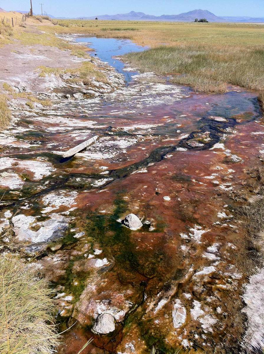
Three Forks Hot Spring is a warm spring in the Owyhee Canyonlands of far southeastern Oregon, upstream of the point where the North Fork, Middle Fork and main stem of the Owyhee River meet. Oregon Discovery puts the source at about 95°F, cooling further in the pools, and describes soaking spots on both banks: smaller pools on the east side and larger ones on the west, where warm water spills from one pool into another over a small waterfall. The Oregon Natural Desert Association and the Owyhee Canyonlands campaign both describe sitting beneath that waterfall beside the river. Two walking routes start at the BLM recreation site at the confluence. The longer one, about 3 miles, follows a four-wheel-drive track across the North Fork bridge, fords the Middle Fork and runs along the canyon rim with views of Three Forks Dome before dropping to the river opposite the springs, which means one more ford to reach the pools. The shorter one fords the Middle Fork at the boat ramp and follows an intermittent path up the canyon for about 2 miles. The Owyhee Canyonlands guide warns of poison ivy along the river, extreme summer heat and the occasional rattlesnake.
Sources (3)
Sources: oregondiscovery.com, onda.org, wildowyhee.org
No named road reaches Three Forks Hot Spring in Malheur County, Oregon; the closest drivable snap is about 1.0 miles away. The hike in is about 2 miles by trail.
Classed here as an undeveloped backcountry pool, though no source on file confirms that. Pool or spring temperature on file: 95°F (warm). Entry is free and nothing on file lists any amenities. No clothing policy is on file — ask before you go.
Conditions at the spring
Three Forks Hot Spring: common questions
Is Three Forks Hot Spring on public land?
Not entirely. The Owyhee Canyonlands guide says the springs and much of the riverbank upstream of the campground are on unmarked private land. The owners have allowed hikers to visit, but the guide says there is no guarantee that will continue, and it asks visitors to pack out what they bring, observe fire restrictions and respect the landowners' rights.
Source: wildowyhee.org
Can you drive to the Three Forks campground?
Usually, with the right vehicle. The BLM's directions start on US 95 near Danner, about 16 miles west of Jordan Valley, then follow the dirt Soldier Creek Loop Road south for 36 miles to the canyon rim, and it highly recommends high-clearance four-wheel drive. The road can be impassable when wet; the Owyhee Canyonlands guide says even a quarter inch of rain is too much. The last two miles drop steeply into the canyon on a rocky road that is not regularly maintained, and the BLM suggests checking it from the rim and parking there to walk down if it looks too rough.
Sources: blm.gov, wildowyhee.org
Is there a fee to camp at Three Forks?
No. The BLM lists no fees at the Three Forks Recreation Site, which has five designated campsites, a boat launch, vehicle parking and vault restrooms, with a 14-day stay limit. None of the sources we checked lists a fee for the springs themselves.
Source: blm.gov
How deep are the river crossings?
It depends on the season and flow. The Owyhee Canyonlands guide says to gauge the depth and speed of the water before each crossing and not to cross if you are uncomfortable or the water is above your knees.
Source: wildowyhee.org
Tips before you go
Practical notes from operators, land managers and published sources — plus reviews written here.
Better to park at the campground where the rivers meet, then hike the 2-ish miles up the road.
Been here?
Loading…
Contact & location
Address: Oregon 97910
Keep this page honest
Road and closure status for Three Forks Hot Spring is the fastest-decaying fact on this page. If something has changed on the ground, tell us and we will re-check it.